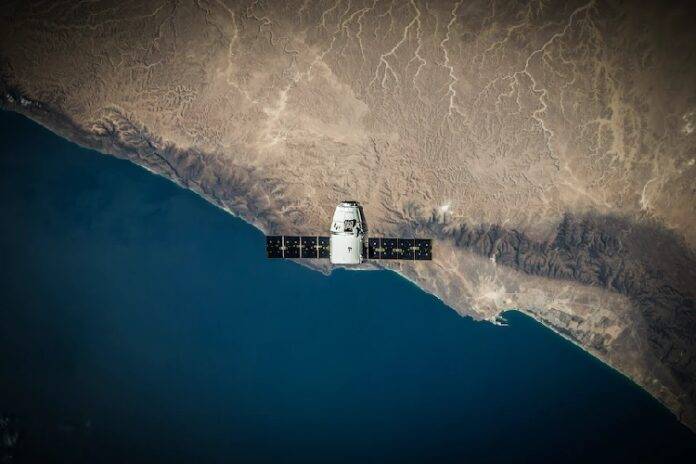
What is the main problem with satellite images? Two or more classes of objects (for example, buildings, wastelands, and pits) on satellite images can have the same spectral characteristics, so in the last two decades their classification has been a difficult task. Image classification is critical in remote sensing, especially when it comes to imagery analytics and pattern recognition. With the help of classification, different types of data can be visualized, hence important maps can be produced, including a land use map that can be used for smart resource management and planning.
Due to its importance and undeniable effectiveness, image classification is becoming more and more available and advanced, offering more precision and reliability of its results. As today satellite imagery analysis is nothing new to numerous industries, its classification finds use in a long list of applications, including crop monitoring, forest cover mapping, soil mapping, land cover change detection, natural disaster assessment, and much more. For example, crop classification using remote sensing is a great opportunity for agricultural players to plan crop rotation effectively, estimate supply for certain crops, and more.
But how does satellite imagery classification actually work? Technology is the answer. More specifically — machine learning, artificial intelligence, and most importantly deep learning. Let’s get into more detail to see how the “magic” happens, enabling us to see maps with different objects possessing specific visual characteristics.
Satellite Imagery Classification Using Deep Learning
With hundreds of observation satellites orbiting the Earth and new satellites being launched, the amount of imagery they produce is growing constantly. However, to make use of these images across different industries and applications, like environmental monitoring, city planning, or agriculture, they need to be classified.
The methods of satellite image classification can be put into four core categories depending on the features they use: object-based methods, unsupervised feature learning methods, supervised feature learning methods, and manually feature-based methods. Today, supervised deep learning methods have gained the biggest popularity among remote-sensing applications, especially when it comes to land use scene classification and geospatial object detection.
Deep Learning And How It Works
Deep learning can be viewed as a form of machine learning. Self-learning and improvement of program behavior occurs as a result of the execution of computer algorithms. But classical machine learning algorithms use fairly simple concepts, while deep learning works with artificial neural networks. These networks are designed to mimic the way humans think and learn.
Advances in big data analytics have made it possible to create large and complex neural networks. Thanks to them, computers can observe, learn, and respond to complex situations even faster than humans. Today, deep learning helps classify images, translate texts from one language to another, and recognize speech.
Deep learning is based on artificial neural networks consisting of many layers. In a Deep Neural Network (DNN) each layer can perform complex operations of representation and abstraction of images, sound or text. One of the most popular types of deep neural networks is known as convolutional neural networks (CNN). CNN combines learned features with input data and uses convolutional 2D layers, making this architecture perfectly suited for processing 2D data, such as images.
CNN and Satellite Imagery Classification
Convolutional neural networks are particularly useful for finding patterns in images to recognize objects, faces, and scenes. They learn directly from images, using patterns to classify images and eliminating the need for manual feature extraction. The use of CNNs for deep learning has become more popular because of three important factors:
- CNNs eliminate the need for manual feature extraction
- CNNs produce state-of-the-art recognition results
- CNNs can be retrained to perform new recognition tasks, allowing for leveraging existing networks.
CNNs eliminate the need for manual feature extraction, so there is no need to determine the features used to classify images. CNNs work by extracting features directly from images. The relevant features are not pre-trained; they learn while the network is trained on a set of images. This automatic feature extraction makes deep learning models very accurate for computer vision tasks, such as object classification.
CNNs learn to detect different features in an image using dozens or hundreds of hidden layers. Each hidden layer increases the complexity of learned image features. For example, the first hidden layer may learn to detect edges, and the last layer may learn to detect more complex shapes specifically adapted to the shape of the object we are trying to recognize.
Overall, it’s hard to overestimate the role of deep learning in imagery classification. Thanks to modern advancements in AI algorithms, we can pull out more and more of invaluable insights from satellite pictures, increasing the effectiveness and sustainability of many industries on Earth.


